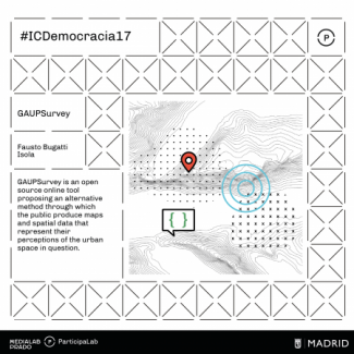
GAUP Survey
INFRAESTRUCTOURS by Mario Santamaria: Energy
Cities are crisscrossed by a multitude of flows that constantly reorder their material reality. They are organisms whose in/stability depends on a tangle of systems that guarantee certain levels of mobility, food, energy and care. Power plants, distribution lines, sewers, protocols, regulations, antennas, landfills, sensors and purifiers organize the city in a veiled way. This activity proposes a series of guided tours designed to traverse the infrastructural landscape of the city of Madrid.
The aim of the sessions is to explore the ways in which these flows function and how they relate to
INFRAESTRUCTOURS by Mario Santamaria: Waste
Cities are crisscrossed by a multitude of flows that constantly reorder their material reality. They are organisms whose in/stability depends on a tangle of systems that guarantee certain levels of mobility, food, energy and care. Power plants, distribution lines, sewers, protocols, regulations, antennas, landfills, sensors and purifiers organize the city in a veiled way. This activity proposes a series of guided tours designed to traverse the infrastructural landscape of the city of Madrid.
The aim of the sessions is to explore the ways in which these flows function and how they relate to
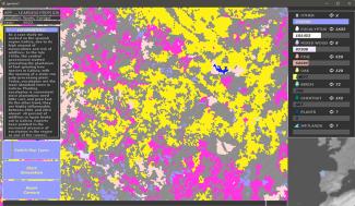
Learning from GIS
multimodal
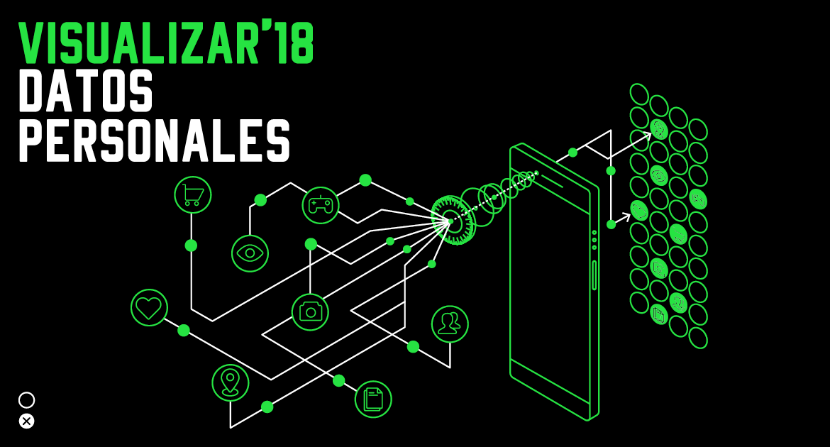
Visualizar18, Personal Data: selected projects
These are the six projects selected for Visualizar18: Personal Data data visualization workshop.
This workshop takes place from Friday, September 21st to Friday, October 5th
To collaborate with any of the projects, it is necessary to sign up for the call for collaborators that remains open until one day before the start (Wednesday, September 19th at 23:59 CEST)
Water trips
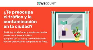
WeCount: 300 strawberry plants to measure pollution
WeCount es un proyecto europeo de ciencia ciudadana para contabilizar y medir la movilidad en las ciudades impulsado por Ideas for Change. Desde el mes de junio, la iniciativa distribuye unos sensores llamados Telraam que vecinos y comunidades ciudadanas de Madrid y Barcelona están instalando en sus ventanas para recolectar datos sobre cuántos coches, vehículos pesados, bicicletas y peatones pasan por sus calles. La información recopilada puede consultarse a tiempo real a través de esta plataforma y, con los resultados obtenidos, se determinará de manera conjunta que acción de alto impacto


 Medialab-Matadero Madrid
