
 Medialab-Matadero Madrid
OpenStreetMap
Desde 19/04/2007 07:04 hasta 19/04/2007 12:04

The community continues to cross language, legal and technical barriers in order to collaboratively build the map.
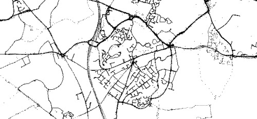
Users travel with a GPS to create a trace of their path, this is uploaded to openstreetmap along with other users traces. These build up in to a representation of the geometry of the world which can then be turned in to a map. Streets, parks and other common features are tagged according to an open scheme. A subset of agreed tags are rendered by various rendering applications to produce mobile, on-line and paper maps.
Openstreetmap has around 6,000 users all across the world. Most mapping occurs within the EU due to traditional legal concerns where countries own mapping agencies and sell the data. This has been historically restrictive and so open maps offer one of the few ways forward.
Areas the size of large towns are now complete, joining these areas up and filling in detail is the next challenge to producing a map of several EU countries. How do we get from here to a map of the whole world?
Proyecto openstreetmap:
http://es.wikipedia.org/wiki/OpenStreetMap
http://wiki.openstreetmap.org/index.php/Main_Page
Place:
Conde Duque
Sessions of the activity
The activity is over
Programa:
Commons Lab